Goat Peak…south ridge of Mount Jefferson.
Hasn’t always been on my list, but I occasionally see it from time to time as a reminder. We were able to secure permits to use the Bingham Ridge Trailhead for a few days, so we decided to pack into one of our favorite places to camp…The Table. A very unique area, IMO.
Day one, from Bingham Ridge TH, we hike the trail for about 3.5 miles before going off-trail onto the Bingham Ridge proper, for 2 more miles, where we jump back on the trail. After a half mile we hit the PCT for about ¾ mile, where we jumped on the old, overgrown Table Lake Cutoff trail that leads you down to some snow-melt ponds. We filled up all of our water reservoirs at one of these ponds, then huffed up to the south Table and found a nice camp spot, sheltered by the trees. There was wind in the forecast, and they got it right for a change. That evening we spotted two Mountain Goats on the craggy Cathedral Rocks, just about where the sun sat.
Next morning we left camp at about 9:00am, headed for Goat Peak. Basically, just head north on a path of least resistance. Once we got close, we could see the route up this peak. The closer we got, the easier the scramble looked. Two thirds for the scramble were over loose rock and dirt. The last third was a fun blocky 3rd class scramble to the summit, which included a squeeze through a couple of large boulders. Fun shit!
We descended the same way we climbed, then continued north and around the north side of Goat Peak, where we found an easy route down to Shale Lake, where we took a nice break. Next, we had to find a route down to Hunts Lake which turned out to be just dropping over the edge and going down a steep slope of loose dirt and shrubs till we landed at Hunt’s Lake. We filtered a bit more water here and headed to Hanks Lake, then caught the trail back up to the PCT, then jumped on the trail that got us back to camp. Fun day!
The next morning, we packed up camp and hiked back to the trailhead. It was an 8-mile hike back that took us about 5.6 hours, which included an hour stop for a swim at our favorite swimming hole at Rock Lake.
Another fun weekend with my lovely wife, Deb.
A first look at Goat Peak…

First big view of Mount Jefferson…

From Bingham Ridge, looking down at Rock Lake, our favorite swimming hole.

First view of Bear Butte in the distance…

After filling all the water reservoirs, huffing the final push to camp, on The Table (south)

A view of North Cinder Butte (the gray one)

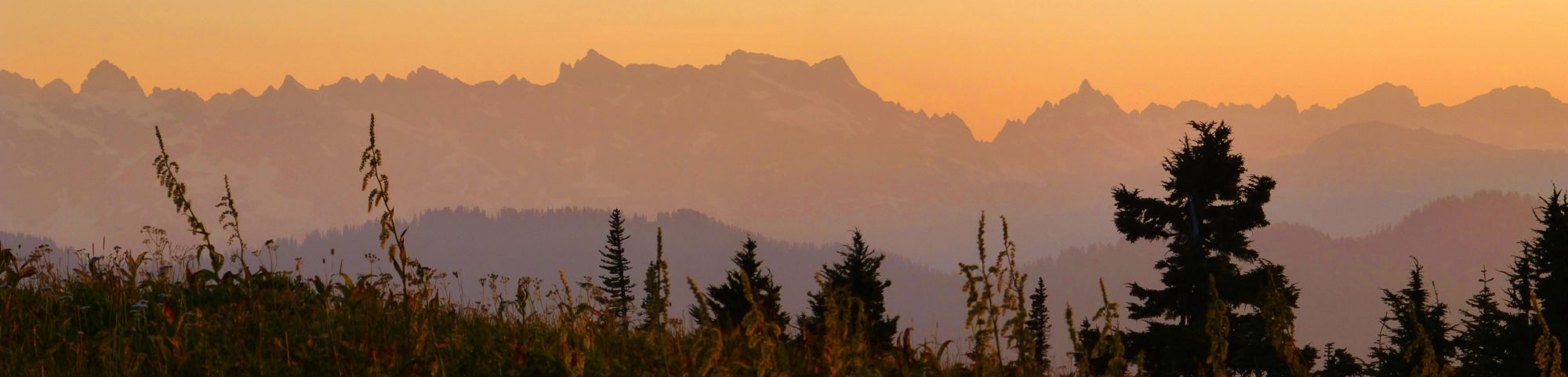
Sunset behind Cathedral Rocks…

Evening view of two Mountain Goats on one of the Cathedral Rocks.

Breakfast next morning…

From camp, a good view of Goat Peak, and Mount Jefferson behind the clouds…

A nice hike across the south Table…

Lots in this pic.

Bear Butte in the foreground, and Green Ridge in the distance.

Getting closer to Goat Peak, with our route to the top.


Deb getting to the summit.

Looing east, you can see the smoke from the central Oregon wildfires.


Posers on Goat Peak

Part of the scramble includes a squeeze (with pack) through some boulders. Deb descending through the squeeze. Nice butt! 🙂


Deb spotted Mountain Goats on the side of Mt. Jefferson. We counted 12 goats in three different groups. Better seen with binoculars…

On the way down to Shale Lake, we could see a lenticular forming above Mt Jefferson.


Looking for a place to drop down to Hunts Lake…


Filtering a bit of this cold fresh running water, at Hunts Lake.


Nice view of Mt Jefferson with a cloud cap, Goat Peak, and Cathedral Rocks, before getting back to camp.

Morning shot of Jeff, from camp…

Our water source while camping on The Table…

Rock lake, after a refreshing swim…

Our weekend route…

I sure like the way you put things together. Helps keep up my incentive even though my longer hikes are in the past now.